


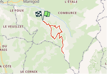

8 km | 11.6 km-effort

User


FREE GPS app for hiking
 SityTrail
IGN / Geographical institutes
SityTrail World
The world is yours!
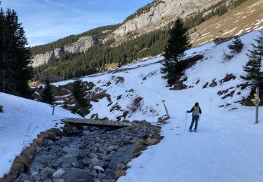
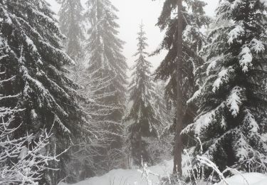
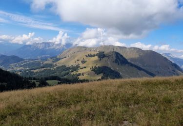
Trail Walking of 12.9 km to be discovered at Auvergne-Rhône-Alpes, Upper Savoy, Manigod. This trail is proposed by Michel_Martin.
Pointe d'Orsière et reconnaissance du passage Sur le Freu
Départ 900m après l'antenne et la pancarte Parking du torchon.


Snowshoes
Walking

Walking

Mountain bike
Mountain bike
Walking
Snowshoes
Snowshoes
Walking