


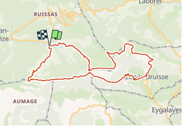

11.4 km | 18.6 km-effort

User


FREE GPS app for hiking
 SityTrail
IGN / Geographical institutes
SityTrail World
The world is yours!
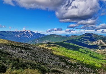
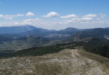
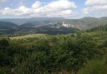
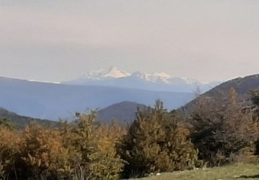
Trail Walking of 22 km to be discovered at Auvergne-Rhône-Alpes, Drôme, Montauban-sur-l'Ouvèze. This trail is proposed by MarcLEBARON.
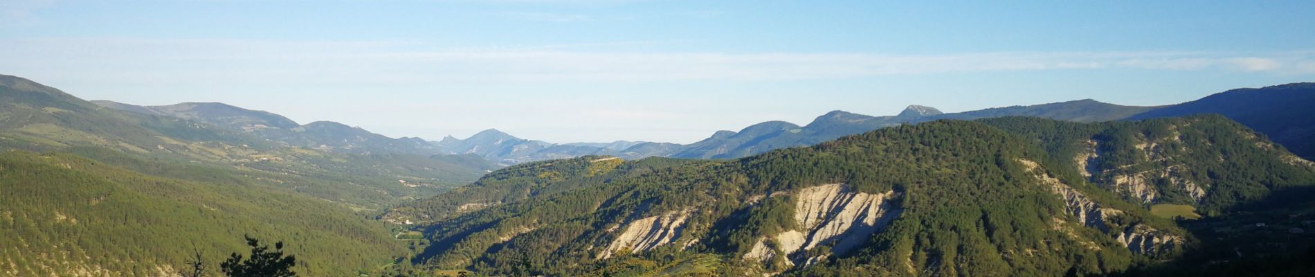
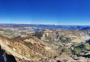
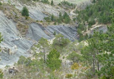
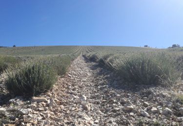
Joli parcours pour découvrir les plateaux des Baronnies, magnifiques points de vue.
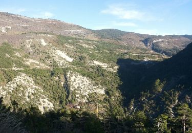
Très belle hêtraie en redescendant de Chamouse.
Cotation difficile par rapport à la longueur et dénivelé, sinon rien de technique.
2 écueils :
- Le sentier "sente" de départ, pas facile à trouver et suivre sauf sur le dernier tiers.
- La partie goudronnée de la côte 1113 jusqu'à Izon-la-Bruisse.


Walking
Walking
Walking
Walking
Walking
Walking
Walking
Walking
Other activity