


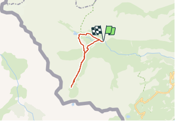

4 km | 5.7 km-effort

User


FREE GPS app for hiking
 SityTrail
IGN / Geographical institutes
SityTrail World
The world is yours!
Trail Walking of 9.9 km to be discovered at Occitania, Hautespyrenees, Gavarnie-Gèdre. This trail is proposed by bedous.
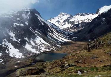
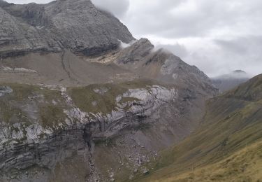
Randonnée facile et trés agréable le long du ru La Canau . L'itinéraire passe par le barrage d'Ossoue et peut se poursuivre jusqu'au lac de Bernatoire.
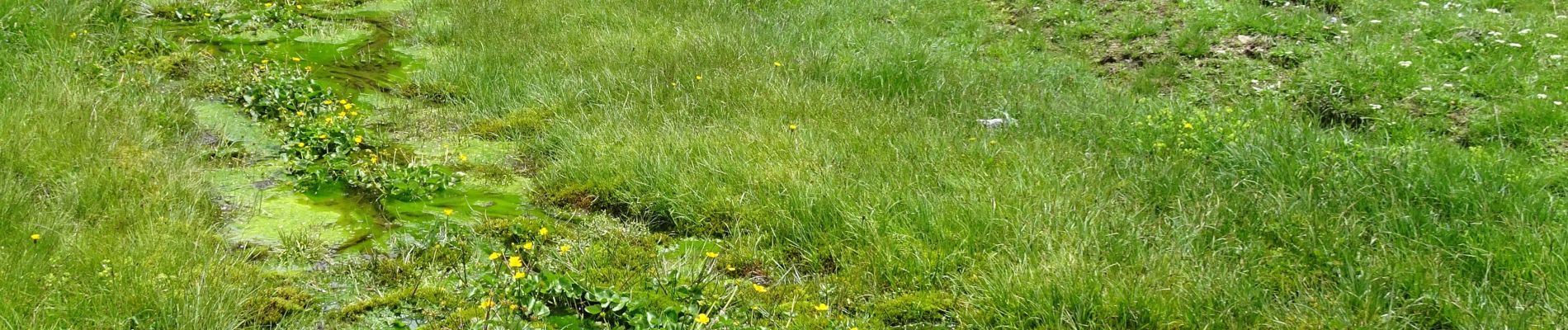
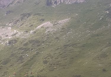
Le 24 juin j'ai peu rencontré plus de cinquante marmottes !
 - Photo 1")
 - Photo 2")
 - Photo 3")
 - Photo 4")
 - Photo 5")

Walking

Walking

Walking

Walking

Walking

Walking
Walking
Walking
Walking