


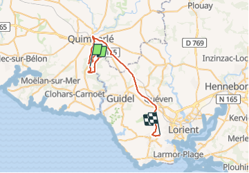

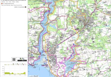
81 km | 94 km-effort


User


FREE GPS app for hiking
 SityTrail
IGN / Geographical institutes
SityTrail World
The world is yours!
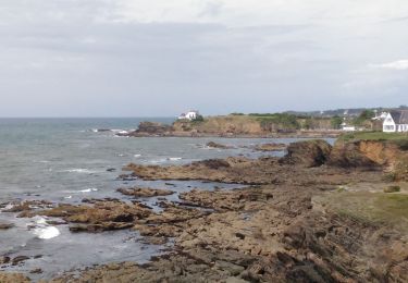
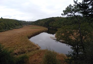
Trail Walking of 36 km to be discovered at Brittany, Finistère, Quimperlé. This trail is proposed by dlenaour56.
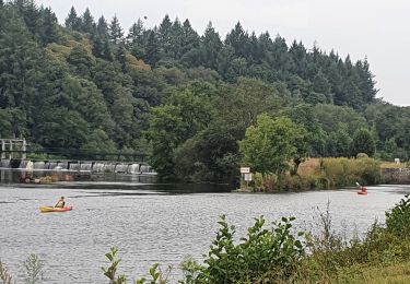
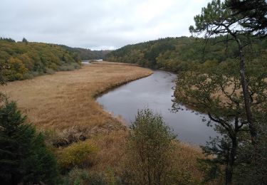
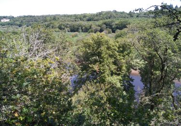
Très beau parcours ombragé le long de la Laïta
Electric bike
Walking
Walking

Walking
Walking

Walking

Walking