


TOUR DE LA LEGETTE

walrou63
User
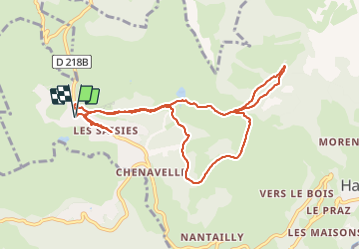

Length
9.6 km

Max alt
1825 m

Uphill gradient
280 m
Km-Effort
13.4 km

Min alt
1630 m

Downhill gradient
280 m
Boucle
Yes
Creation date :
2021-07-01 12:23:45.868
Updated on :
2021-07-02 10:18:07.732
3h24
Difficulty : Difficult

FREE GPS app for hiking
 SityTrail
IGN / Geographical institutes
SityTrail Plus
The world is yours!
About
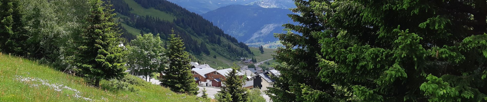
Trail Walking of 9.6 km to be discovered at Auvergne-Rhône-Alpes, Savoy, Hauteluce. This trail is proposed by walrou63.
Photos


Positioning
Country:
France
Region :
Auvergne-Rhône-Alpes
Department/Province :
Savoy
Municipality :
Hauteluce
Location:
Unknown
Start:(Dec)
Start:(UTM)
308199 ; 5070212 (32T) N.
Comments