


coarrazeG4gait2021

LouisROGER
User GUIDE
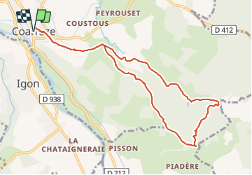

Length
10.7 km

Max alt
385 m

Uphill gradient
181 m
Km-Effort
13.1 km

Min alt
277 m

Downhill gradient
178 m
Boucle
Yes
Creation date :
2021-07-02 07:43:08.209
Updated on :
2021-07-03 16:59:52.507
5h01
Difficulty : Difficult

FREE GPS app for hiking
 SityTrail
IGN / Geographical institutes
SityTrail Plus
The world is yours!
About
Trail Walking of 10.7 km to be discovered at New Aquitaine, Pyrénées-Atlantiques, Coarraze. This trail is proposed by LouisROGER.
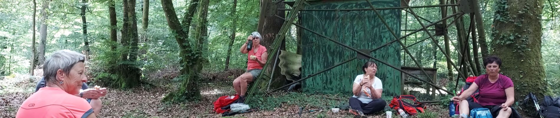
Photos

Positioning
Country:
France
Region :
New Aquitaine
Department/Province :
Pyrénées-Atlantiques
Municipality :
Coarraze
Location:
Unknown
Start:(Dec)
Start:(UTM)
725058 ; 4783326 (30T) N.
Comments