


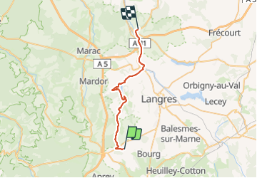

18.3 km | 22 km-effort

User


FREE GPS app for hiking
 SityTrail
IGN / Geographical institutes
SityTrail World
The world is yours!
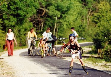
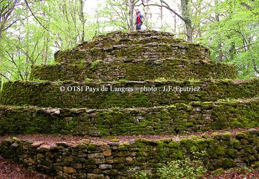
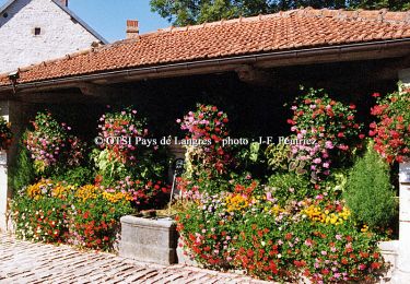
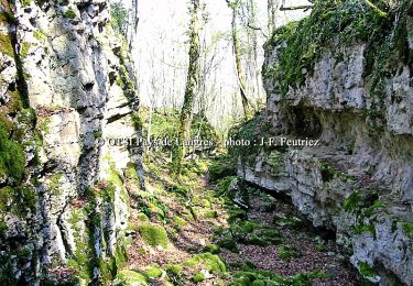
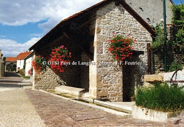
Trail Electric bike of 28 km to be discovered at Grand Est, Haute-Marne, Brennes. This trail is proposed by zombie52.


Walking
Walking
Cycle
Cycle
Cycle

Walking

Mountain bike
Walking
Mountain bike