


Col du Mont Cenis

Roulland
User
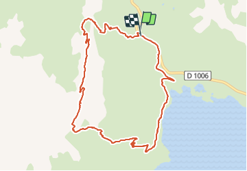

Length
10.7 km

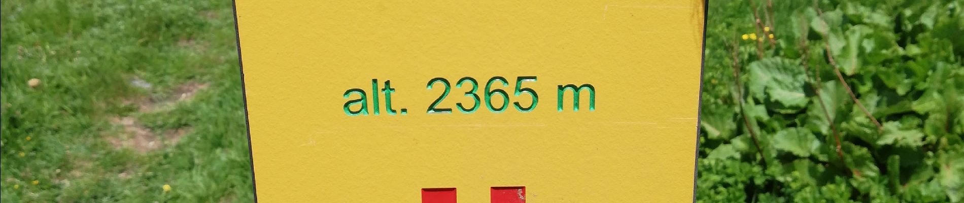
Max alt
2719 m

Uphill gradient
744 m
Km-Effort
21 km

Min alt
1982 m

Downhill gradient
746 m
Boucle
Yes
Creation date :
2021-07-10 07:50:32.608
Updated on :
2021-07-12 13:32:30.755
3h50
Difficulty : Medium

FREE GPS app for hiking
 SityTrail
IGN / Geographical institutes
SityTrail Plus
The world is yours!
About
Trail Walking of 10.7 km to be discovered at Auvergne-Rhône-Alpes, Savoy, Val-Cenis. This trail is proposed by Roulland.
Photos


Positioning
Country:
France
Region :
Auvergne-Rhône-Alpes
Department/Province :
Savoy
Municipality :
Val-Cenis
Location:
Unknown
Start:(Dec)
Start:(UTM)
335283 ; 5013974 (32T) N.
Comments