


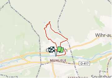
GUNSBACH SANTIER DE L EAU

jcschubnel
User

Length
5.5 km

Max alt
485 m

Uphill gradient
170 m
Km-Effort
7.7 km

Min alt
332 m

Downhill gradient
170 m
Boucle
Yes
Creation date :
2021-07-09 12:38:59.337
Updated on :
2021-07-16 14:26:44.384
2h14
Difficulty : Easy

FREE GPS app for hiking
 SityTrail
IGN / Geographical institutes
SityTrail Plus
The world is yours!
About
Trail Walking of 5.5 km to be discovered at Grand Est, Haut-Rhin, Gunsbach. This trail is proposed by jcschubnel.
Positioning
Country:
France
Region :
Grand Est
Department/Province :
Haut-Rhin
Municipality :
Gunsbach
Location:
Unknown
Start:(Dec)
Start:(UTM)
363980 ; 5322822 (32U) N.
Comments