


Combins 5: Champillon - St Bernard

pierrepraz
User
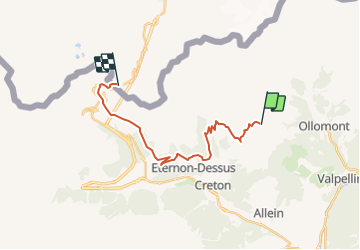

Length
18.8 km

Max alt
2714 m

Uphill gradient
1225 m
Km-Effort
35 km

Min alt
1801 m

Downhill gradient
1233 m
Boucle
No
Creation date :
2014-12-11 00:00:00.0
Updated on :
2014-12-11 00:00:00.0
--
Difficulty : Unknown

FREE GPS app for hiking
 SityTrail
IGN / Geographical institutes
SityTrail Plus
The world is yours!
About
Trail Other activity of 18.8 km to be discovered at Aosta Valley, Unknown, Doues. This trail is proposed by pierrepraz.
Positioning
Country:
Italy
Region :
Aosta Valley
Department/Province :
Unknown
Municipality :
Doues
Location:
Unknown
Start:(Dec)
Start:(UTM)
365485 ; 5078905 (32T) N.
Comments