


VIENNE / LA SENTE DIVINE: SAINT CHARTRES - LA GRIMAUDIERE

djeepee74
User


Length
15.8 km

Max alt
99 m

Uphill gradient
141 m
Km-Effort
17.7 km

Min alt
75 m

Downhill gradient
142 m
Boucle
Yes
Creation date :
2021-07-21 07:13:42.706
Updated on :
2021-07-24 14:27:47.642
5h15
Difficulty : Medium

FREE GPS app for hiking
 SityTrail
IGN / Geographical institutes
SityTrail Plus
The world is yours!
About
Trail Walking of 15.8 km to be discovered at New Aquitaine, Vienne, Moncontour. This trail is proposed by djeepee74.
Description
BOUCLE... live 20210718
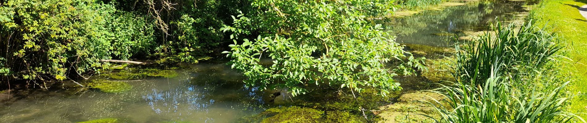
Photos


22 photos in total. Please click on a photo to see them all in the gallery.
Positioning
Country:
France
Region :
New Aquitaine
Department/Province :
Vienne
Municipality :
Moncontour
Location:
Unknown
Start:(Dec)
Start:(UTM)
728012 ; 5190989 (30T) N.
Comments