


Le calvaire

claudel
User
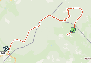

Length
8.3 km

Max alt
1215 m

Uphill gradient
431 m
Km-Effort
13.4 km

Min alt
933 m

Downhill gradient
246 m
Boucle
No
Creation date :
2021-07-21 08:28:56.817
Updated on :
2021-07-21 16:41:38.809
2h14
Difficulty : Medium

FREE GPS app for hiking
 SityTrail
IGN / Geographical institutes
SityTrail Plus
The world is yours!
About
Trail Walking of 8.3 km to be discovered at Grand Est, Haut-Rhin, Orbey. This trail is proposed by claudel.
Positioning
Country:
France
Region :
Grand Est
Department/Province :
Haut-Rhin
Municipality :
Orbey
Location:
Unknown
Start:(Dec)
Start:(UTM)
360869 ; 5334121 (32U) N.
Comments