


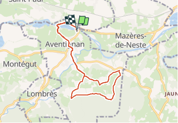

10.2 km | 17.1 km-effort

User GUIDE


FREE GPS app for hiking
 SityTrail
IGN / Geographical institutes
SityTrail World
The world is yours!
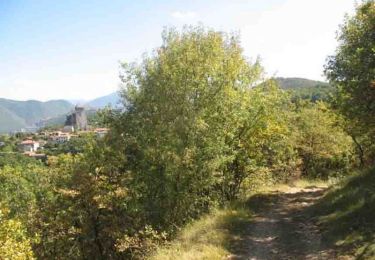
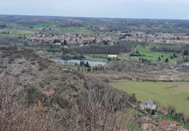
Trail On foot of 9.7 km to be discovered at Occitania, Hautespyrenees, Aventignan. This trail is proposed by marmotte65.
Belle balade avec un GR 78 magnifique l'idéal est de partir à 9h pour pique nique à midi aux grottes de Gargas.


Walking

Walking
On foot
Walking

Walking

Walking
Mountain bike
Walking

On foot