


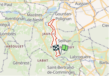

10.2 km | 17.1 km-effort


User GUIDE


FREE GPS app for hiking
 SityTrail
IGN / Geographical institutes
SityTrail World
The world is yours!
Trail Walking of 9.5 km to be discovered at Occitania, Haute-Garonne, Seilhan. This trail is proposed by lhomme.ph.
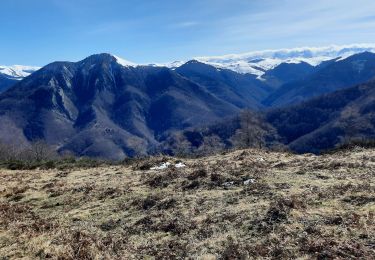
quelques passages délicats !


Walking

Walking

Walking

On foot

On foot
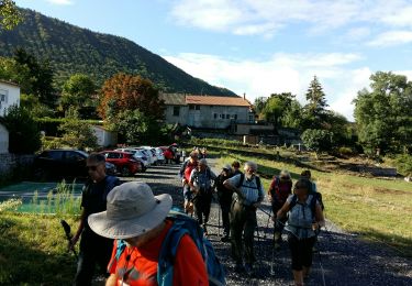
On foot
Walking

Walking

Walking