


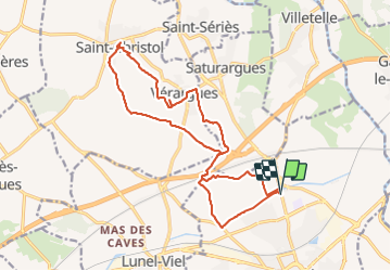


7.3 km | 7.8 km-effort

User


FREE GPS app for hiking
 SityTrail
IGN / Geographical institutes
SityTrail World
The world is yours!
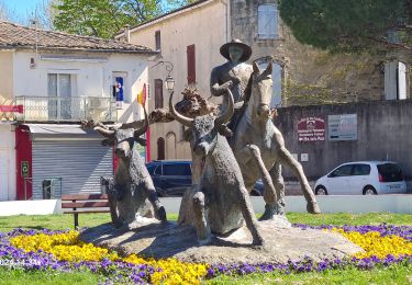
Trail Walking of 18.8 km to be discovered at Occitania, Hérault, Lunel. This trail is proposed by v.rabot.
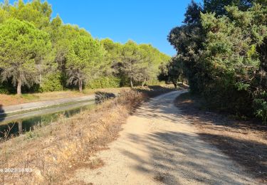
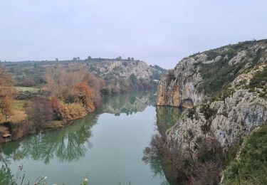
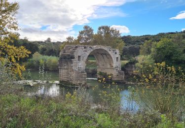
En partant du petit bois de Lunel, suivre le canal, monter à travers les vignes AOC Lunel, traverser la ligne TGV et l'autoroute pour retrouver vignes et garrigues. Les paysages sont agréables et les zones d'ombre bienvenue en juillet. On voit Véragues qui est sur le trajet retour. Dans la rue qui mêne à l'église un cadran solaire coté gauche un peu caché qui date de 1830. En quittant saint Christol on passe par le jardin d'enfant qui a une table de pique nique. Retour à travers les vignes jusqu'à Vérargues ou on peut admirer la noria au fond du jardin d'enfants passage dans vérargues et retour par les vignes puis la garrigue après avoir franchi autoroute et ligne TGV. C etrcé ne présente aucune difficulté et peut être fait en 4h00 sans difficulté.


23 photos in total. Please click on a photo to see them all in the gallery.
Walking

Mountain bike
Walking

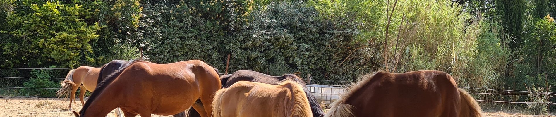
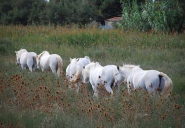
Equestrian
Walking
Walking
Walking

Walking