


20210728 St Ferreol

Childebert
User
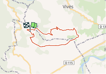

Length
7.4 km

Max alt
300 m

Uphill gradient
195 m
Km-Effort
9.9 km

Min alt
131 m

Downhill gradient
186 m
Boucle
Yes
Creation date :
2021-07-26 09:42:08.147
Updated on :
2021-07-26 12:50:58.293
3h05
Difficulty : Medium

FREE GPS app for hiking
 SityTrail
IGN / Geographical institutes
SityTrail Plus
The world is yours!
About
Trail Walking of 7.4 km to be discovered at Occitania, Pyrénées-Orientales, Céret. This trail is proposed by Childebert.
Photos


Positioning
Country:
France
Region :
Occitania
Department/Province :
Pyrénées-Orientales
Municipality :
Céret
Location:
Unknown
Start:(Dec)
Start:(UTM)
478786 ; 4707351 (31T) N.
Comments