


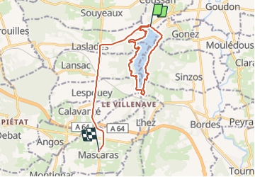

11.2 km | 14.4 km-effort


User


FREE GPS app for hiking
 SityTrail
IGN / Geographical institutes
SityTrail World
The world is yours!
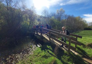
Trail Walking of 16 km to be discovered at Occitania, Hautespyrenees, Coussan. This trail is proposed by gwadatour.
2h pour faire le tour avec quelques belles petites montées

Walking

Walking

Walking
On foot
Walking
Mountain bike

Mountain bike

Mountain bike
Walking