


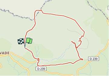


17 km | 23 km-effort

User


FREE GPS app for hiking
 SityTrail
IGN / Geographical institutes
SityTrail World
The world is yours!
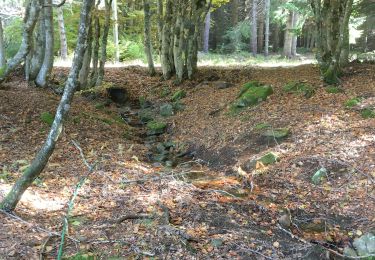
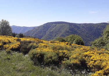
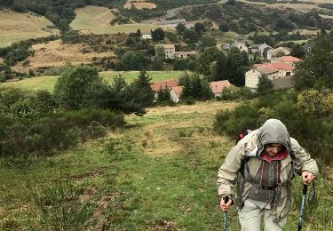
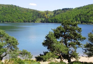
Trail Walking of 5.4 km to be discovered at Auvergne-Rhône-Alpes, Ardèche, Astet. This trail is proposed by Lustou.
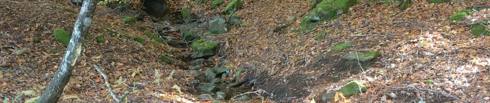
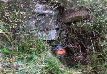
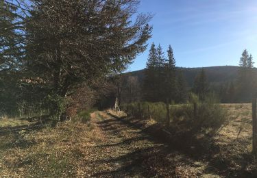
Rando du 19/10/2020


Walking
Walking

Mountain bike
Walking
Walking
Walking
Walking
Equestrian

Mountain bike