


73V val1800 fourchons Lac de Roche Noire

trietsch
User
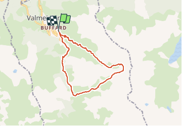

Length
13.8 km

Max alt
2541 m

Uphill gradient
887 m
Km-Effort
26 km

Min alt
1726 m

Downhill gradient
885 m
Boucle
Yes
Creation date :
2021-07-29 08:46:56.0
Updated on :
2021-07-30 19:21:45.414
4h38
Difficulty : Difficult

FREE GPS app for hiking
 SityTrail
IGN / Geographical institutes
SityTrail Plus
The world is yours!
About
Trail Walking of 13.8 km to be discovered at Auvergne-Rhône-Alpes, Savoy, Valmeinier. This trail is proposed by trietsch.
Positioning
Country:
France
Region :
Auvergne-Rhône-Alpes
Department/Province :
Savoy
Municipality :
Valmeinier
Location:
Unknown
Start:(Dec)
Start:(UTM)
302874 ; 5005924 (32T) N.
Comments