


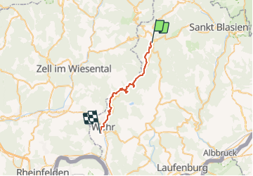

12.7 km | 19.7 km-effort


User


FREE GPS app for hiking
 SityTrail
IGN / Geographical institutes
SityTrail World
The world is yours!
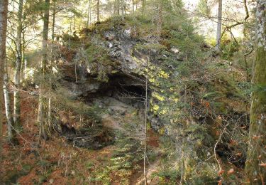
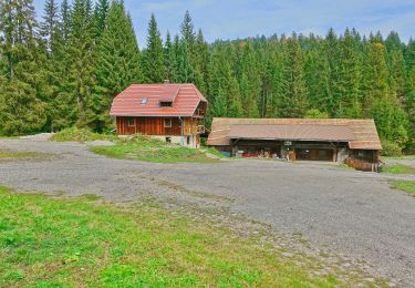
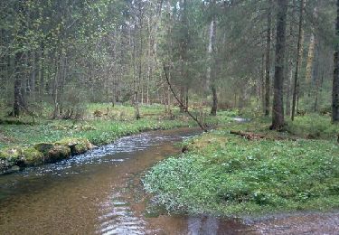
Trail Walking of 25 km to be discovered at Baden-Württemberg, Landkreis Waldshut, Todtmoos. This trail is proposed by benjaminvh.
derniere etape foret noire
On foot
On foot
Walking

On foot