


La Carança-Mariailles

ARVIEU
User
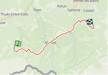

Length
24 km

Max alt
2348 m

Uphill gradient
1674 m
Km-Effort
47 km

Min alt
934 m

Downhill gradient
1819 m
Boucle
No
Creation date :
2021-08-01 16:15:00.93
Updated on :
2021-08-01 16:16:34.423
10h00
Difficulty : Very difficult

FREE GPS app for hiking
 SityTrail
IGN / Geographical institutes
SityTrail Plus
The world is yours!
About
Trail Walking of 24 km to be discovered at Occitania, Pyrénées-Orientales, Fontpédrouse. This trail is proposed by ARVIEU.
Positioning
Country:
France
Region :
Occitania
Department/Province :
Pyrénées-Orientales
Municipality :
Fontpédrouse
Location:
Unknown
Start:(Dec)
Start:(UTM)
436169 ; 4701641 (31T) N.
Comments