


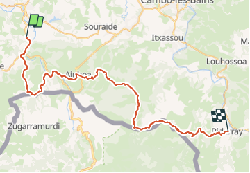
GR 10 3ème étape : St Pée-sur-Nivelle - Aïnhoa - com de Méhatché - Bidarray

LEGUE
User


7h39
Difficulty : Very difficult

FREE GPS app for hiking
 SityTrail
IGN / Geographical institutes
SityTrail Plus
The world is yours!
About
Trail Walking of 36 km to be discovered at New Aquitaine, Pyrénées-Atlantiques, Saint-Pée-sur-Nivelle. This trail is proposed by LEGUE.
Description
Énorme étape car notre hôtel était à l’écart (12,1 Km de plus ) soit 35 km… en 7h40 de marche (4,8 de moyenne !)
Temps pluvieux par intermittence
Paysages formidables
Descente du col d’Espalza dure à voir dangereuse si humide
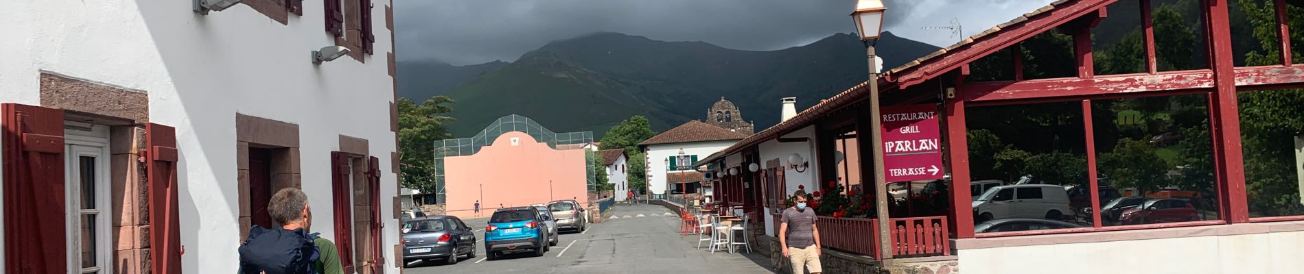
Magnifique village de Bidarray.
Photos


Positioning
Comments