


20 km | 28 km-effort

User


FREE GPS app for hiking
 SityTrail
IGN / Geographical institutes
SityTrail World
The world is yours!
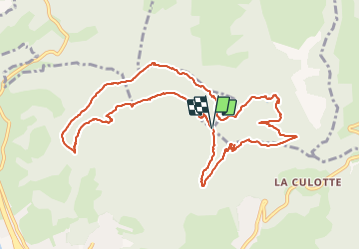
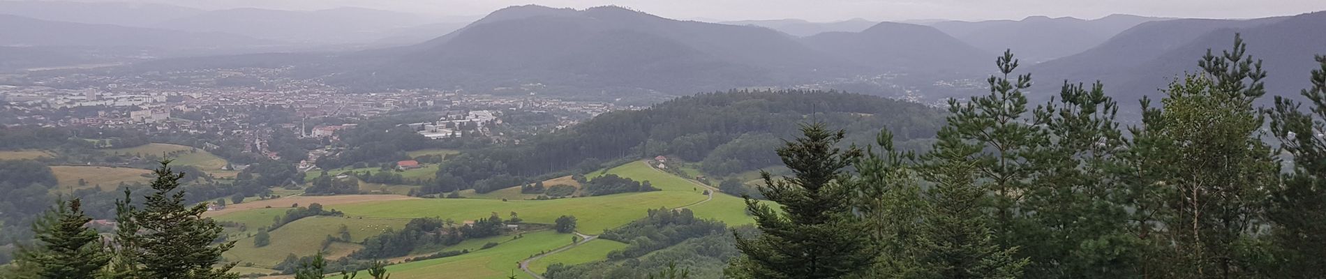
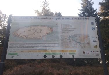
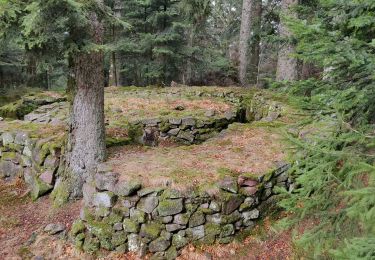
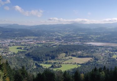
Trail Walking of 11.4 km to be discovered at Grand Est, Vosges, Saint-Dié-des-Vosges. This trail is proposed by Jullido1.
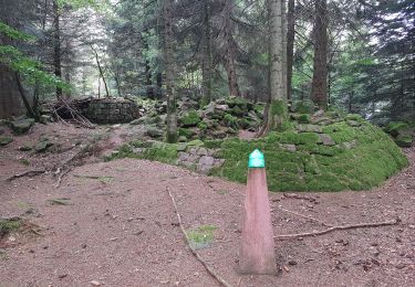
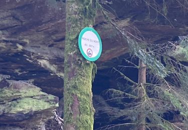
Balade facile autour du Col de la Crenée


Mountain bike

Walking

Horseback riding
Walking
Walking
Walking
Walking
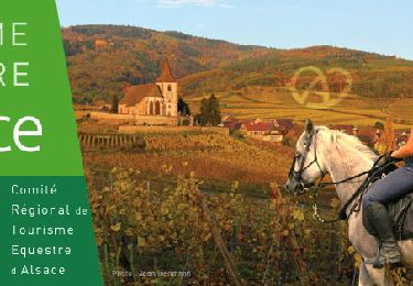
Horseback riding

Horseback riding