


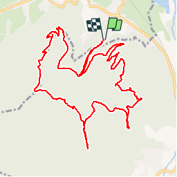


28 km | 37 km-effort


User


FREE GPS app for hiking
 SityTrail
IGN / Geographical institutes
SityTrail World
The world is yours!
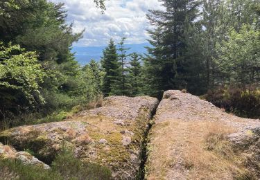
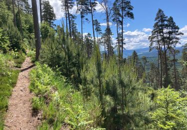
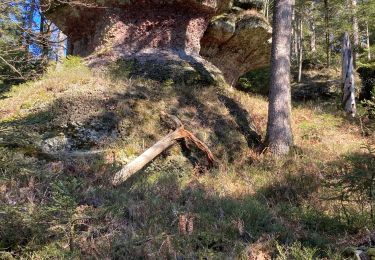
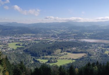
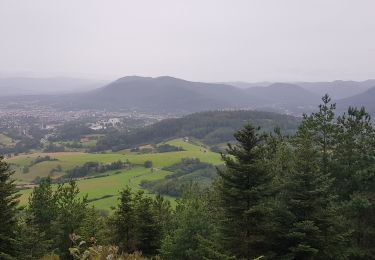
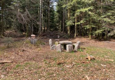
Trail Walking of 14.7 km to be discovered at Grand Est, Vosges, Saint-Michel-sur-Meurthe. This trail is proposed by remysimon.


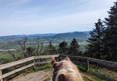
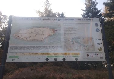
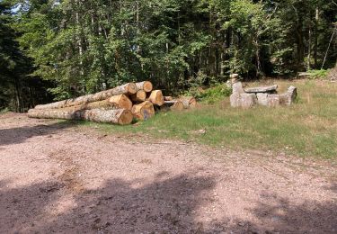
27 photos in total. Please click on a photo to see them all in the gallery.
Horseback riding
Mountain bike
Walking
Walking
Walking
Walking
Walking
Walking
Walking