


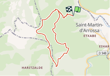

14.5 km | 26 km-effort

User


FREE GPS app for hiking
 SityTrail
IGN / Geographical institutes
SityTrail World
The world is yours!
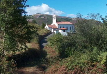
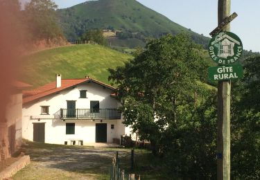
Trail Walking of 9.7 km to be discovered at New Aquitaine, Pyrénées-Atlantiques, Saint-Martin-d'Arrossa. This trail is proposed by RVMASSON.
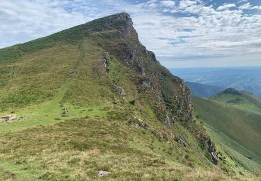
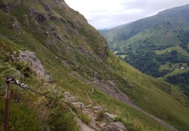
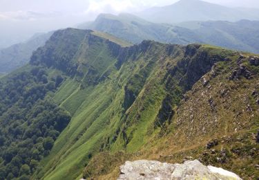
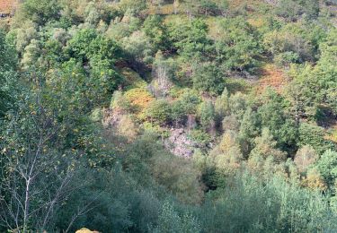
Splendide ballade avec vue sur les crêtes d’Iparla
Trajet pas très difficile.


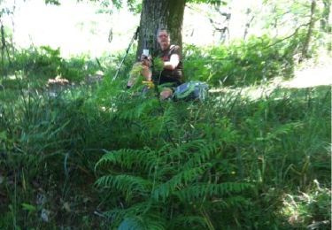
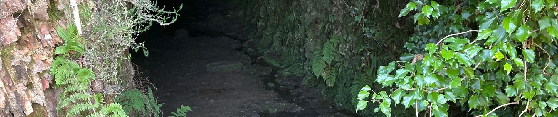
Walking
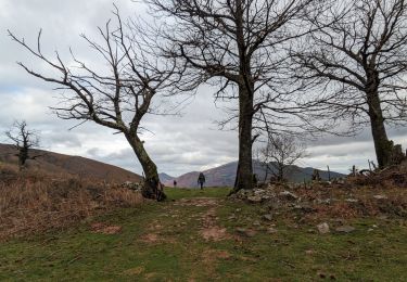
Walking
Walking

Walking
Walking
Walking
Walking
Walking
Walking