


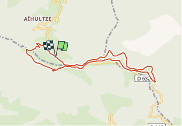

16.8 km | 26 km-effort

User GUIDE


FREE GPS app for hiking
 SityTrail
IGN / Geographical institutes
SityTrail World
The world is yours!
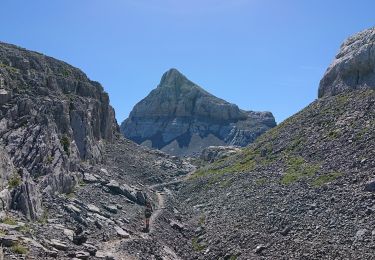
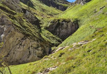
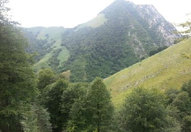
Trail On foot of 10.1 km to be discovered at New Aquitaine, Pyrénées-Atlantiques, Lanne-en-Barétous. This trail is proposed by marmotte65.
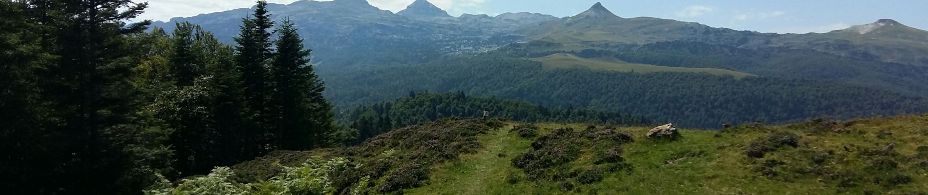
Reco des crêtes d'Issarbe ave une variante qui ne sera pas faite le jour de la rando avec LPC belle ballade avec des points de vue epoustouflant a ne faire que par beau temps


Walking
Walking
Walking
Walking

Other activity
Walking
Walking

On foot
Walking