


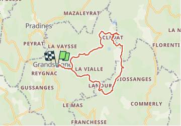


17.8 km | 23 km-effort


User


FREE GPS app for hiking
 SityTrail
IGN / Geographical institutes
SityTrail World
The world is yours!
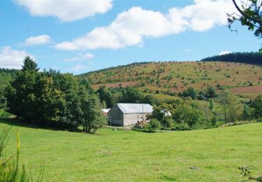
Trail Walking of 15.4 km to be discovered at New Aquitaine, Corrèze, Grandsaigne. This trail is proposed by grageot.
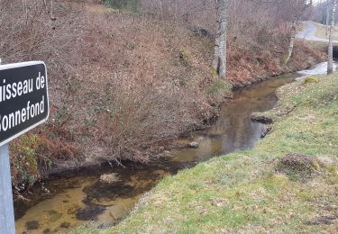
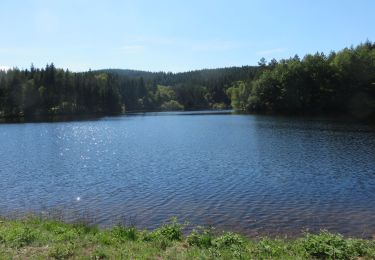
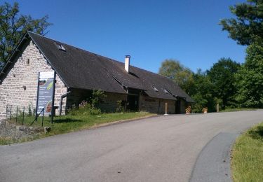
aout 2021 Au départ du parking du cimetiere de Grandsaigne une traversée dans les belle hétraies et capinières des monédières. Clédat mérite une pause, en partant à 10h on y arrive pour déjeuner.
Sans difficulté, à part le "démarage en côte".
4h30 de marche pour 15 km.
Walking
Walking
Cycle
Mountain bike

Walking

Walking
Walking

On foot

Horseback riding