


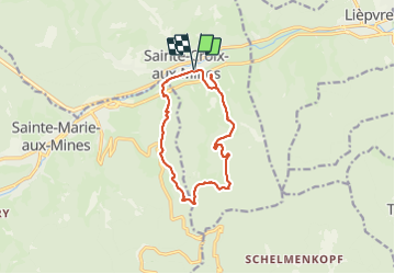
Le Hury par le Petit-Haut

Claudele
User

Length
11.4 km

Max alt
646 m

Uphill gradient
438 m
Km-Effort
17.2 km

Min alt
316 m

Downhill gradient
438 m
Boucle
Yes
Creation date :
2021-08-15 07:29:48.331
Updated on :
2021-08-16 11:14:13.139
5h55
Difficulty : Medium

FREE GPS app for hiking
 SityTrail
IGN / Geographical institutes
SityTrail Plus
The world is yours!
About
Trail Walking of 11.4 km to be discovered at Grand Est, Haut-Rhin, Sainte-Croix-aux-Mines. This trail is proposed by Claudele.
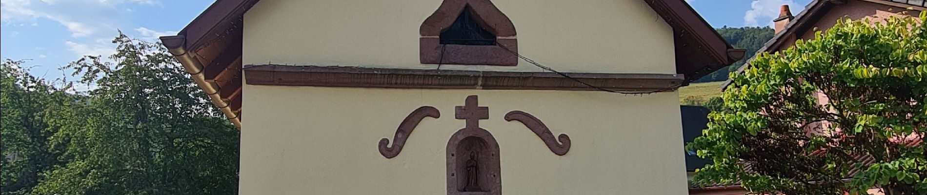
Photos


30 photos in total. Please click on a photo to see them all in the gallery.
Positioning
Country:
France
Region :
Grand Est
Department/Province :
Haut-Rhin
Municipality :
Sainte-Croix-aux-Mines
Location:
Unknown
Start:(Dec)
Start:(UTM)
368541 ; 5346887 (32U) N.
Comments