


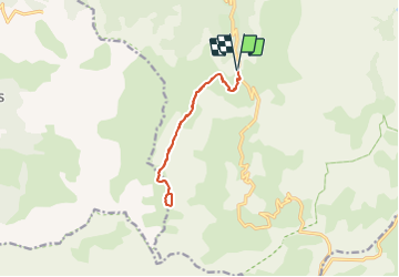

9.5 km | 16.5 km-effort

User


FREE GPS app for hiking
 SityTrail
IGN / Geographical institutes
SityTrail World
The world is yours!
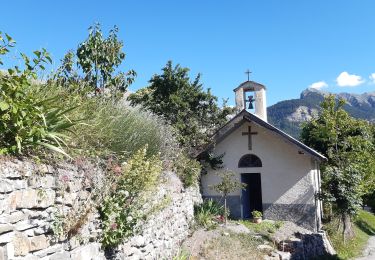
Trail Walking of 11.2 km to be discovered at Provence-Alpes-Côte d'Azur, Alpes-de-Haute-Provence, Jausiers. This trail is proposed by Dervalmarc.
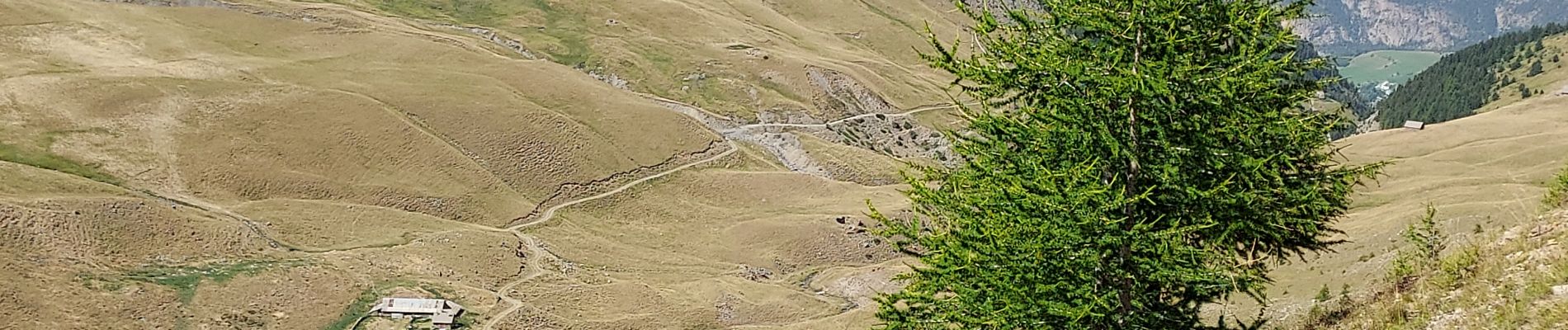
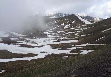
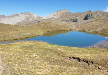
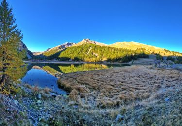
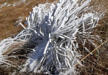
Randonnée moyenne.Véritable jardin Alpin.
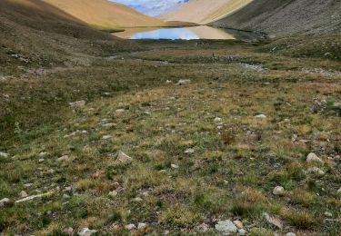
Attentation randonnée tout a l 'adret pas d' ombre tout le long du parcours.
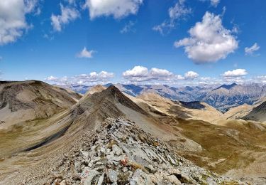
Deux tiers du parcours sentier en balcon.


Walking
Walking
Walking
Walking
Walking
Walking
Walking
Walking
Walking