Trail Walking Jausiers - Cîme de Voga - Photo
© OpenStreetMap contributors
Length
Length
14.9 km
Max alt
Max alt
2761 m
Uphill gradient
Uphill gradient
897 m
Km-Effort
Km-Effort  
27 km
Min alt
Min alt
1895 m
Downhill gradient
Downhill gradient
894 m
Boucle
Boucle
Yes
Creation date :
2022-10-06 07:56:15.918
Updated on :
2022-10-06 21:09:33.766

(1 Reviews)

Walking
Walking
6h40
Difficulty : Very difficult

Scan this QR Code to open this trail in the SityTrail application

FREE GPS app for hiking

Logo SityTrail SityTrail

IGN / Geographical institutes

Download SityTrail from the App Store Download SityTrail from Google Play

Logo SityTrail SityTrail World

The world is yours!

Download SityTrail from the App Store Download SityTrail from Google Play Download SityTrail on Huawei AppGallery

About

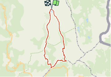
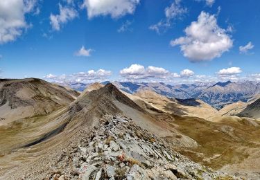
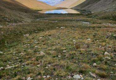
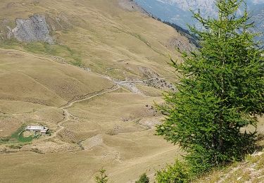
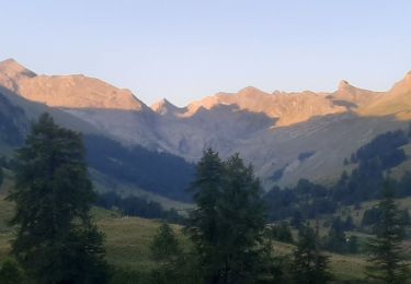
Trail Walking of 14.9 km to be discovered at Provence-Alpes-Côte d'Azur, Alpes-de-Haute-Provence, Jausiers. This trail is proposed by PapouBertrand.

Description

Magnifique rando, mais attention 30 minutes de piste pour accéder au départ et très forte pente sur les 200 derniers mètres de dénivelé en monté et en descente.

Elevation profile

Photos

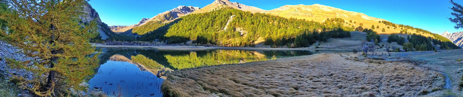
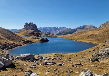
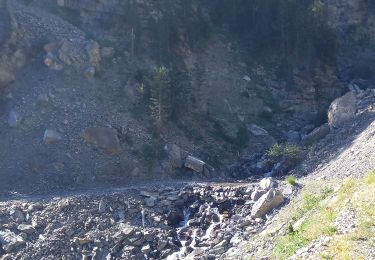
23 photos in total. Please click on a photo to see them all in the gallery.

Positioning

Country:
France
Region :
Provence-Alpes-Côte d'Azur
Department/Province :
Alpes-de-Haute-Provence
Municipality :
Jausiers
Location:
Unknown
Start:(UTM)
327371 ; 4917177 (32T) N.

Comments

Please log in to post a review or rate the element


Trails nearby

Trail Walking Val-d'Oronaye - LARCHE lac de la Orenaille  .Tour du lac de Roburent  o  - Photo
Walking
RobinMicheline

Walking

Difficult
(2)
Val-d'Oronaye, Provence-Alpes-Côte d'Azur, Alpes-de-Haute-Provence, France
14.2 km | 24 km-effort
6h 47min
Yes
Trail Walking Jausiers - Fontaine de la pissoun 15-08-12 - Photo
Walking
darktotor51

Walking

Medium
(1)
Jausiers, Provence-Alpes-Côte d'Azur, Alpes-de-Haute-Provence, France
9.5 km | 16.5 km-effort
3h 16min
Yes
Trail Walking Val-d'Oronaye - Mont Scaletta (col de Larche) - Photo
Walking
PapouBertrand

Walking

Very difficult
Val-d'Oronaye, Provence-Alpes-Côte d'Azur, Alpes-de-Haute-Provence, France
19 km | 34 km-effort
7h 39min
Yes
Trail Walking Val-d'Oronaye - LARCHE  , lac de l Oronaye et lac de Roburent o - Photo
Walking
RobinMicheline

Walking

Difficult
Val-d'Oronaye, Provence-Alpes-Côte d'Azur, Alpes-de-Haute-Provence, France
12.7 km | 21 km-effort
4h 9min
Yes
Trail Walking Jausiers - Pissoun de Terres plaines - Photo
Walking
LittleAnne

Walking

Medium
Jausiers, Provence-Alpes-Côte d'Azur, Alpes-de-Haute-Provence, France
8.7 km | 14.7 km-effort
2h 57min
Yes
Trail Walking Jausiers - Lac des terres pleines et Arrête Rocher Tête de Clapouse - Photo
Walking
PapouBertrand

Walking

Difficult
Jausiers, Provence-Alpes-Côte d'Azur, Alpes-de-Haute-Provence, France
16.4 km | 28 km-effort
5h 22min
Yes
Trail Walking Jausiers - lac des terres pleines..tête du lac..tete de clapouse - Photo
Walking
gibello

Walking

Medium
Jausiers, Provence-Alpes-Côte d'Azur, Alpes-de-Haute-Provence, France
15.9 km | 28 km-effort
6h 54min
Yes
Trail Walking Jausiers - Lac des Terres Pleines. Route de la Bonette - Photo
Walking
Dervalmarc

Walking

Difficult
Jausiers, Provence-Alpes-Côte d'Azur, Alpes-de-Haute-Provence, France
11.2 km | 18.5 km-effort
4h 12min
Yes
Trail Walking Val-d'Oronaye - LARCHE , lac du Lauzanier . lac de derrière la Croix  o - Photo
Walking
RobinMicheline

Walking

Difficult
Val-d'Oronaye, Provence-Alpes-Côte d'Azur, Alpes-de-Haute-Provence, France
17.2 km | 26 km-effort
5h 5min
Yes


Close
My subscriptions