


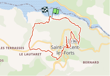
la tour vauban le lac

Maca8284
User

Length
11.2 km

Max alt
1299 m

Uphill gradient
518 m
Km-Effort
18.1 km

Min alt
785 m

Downhill gradient
538 m
Boucle
Yes
Creation date :
2021-08-21 06:56:25.867
Updated on :
2021-08-21 14:28:08.317
3h12
Difficulty : Difficult

FREE GPS app for hiking
 SityTrail
IGN / Geographical institutes
SityTrail Plus
The world is yours!
About
Trail Walking of 11.2 km to be discovered at Provence-Alpes-Côte d'Azur, Alpes-de-Haute-Provence, Ubaye-Serre-Ponçon. This trail is proposed by Maca8284.
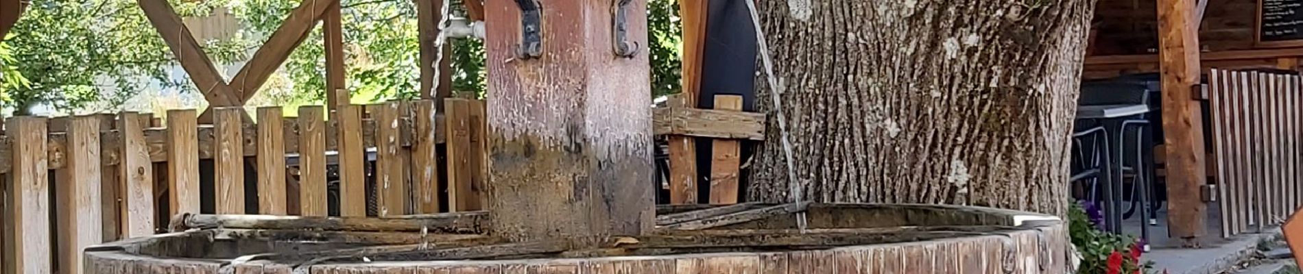
Photos


Positioning
Country:
France
Region :
Provence-Alpes-Côte d'Azur
Department/Province :
Alpes-de-Haute-Provence
Municipality :
Ubaye-Serre-Ponçon
Location:
Unknown
Start:(Dec)
Start:(UTM)
290360 ; 4925978 (32T) N.
Comments