


Illturrh Obdrmorschwiller

ROPPJP
User
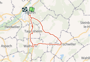

Length
13.4 km

Max alt
387 m

Uphill gradient
328 m
Km-Effort
17.8 km

Min alt
261 m

Downhill gradient
328 m
Boucle
Yes
Creation date :
2021-08-26 07:20:27.795
Updated on :
2021-08-26 12:46:31.783
4h25
Difficulty : Difficult

FREE GPS app for hiking
 SityTrail
IGN / Geographical institutes
SityTrail Plus
The world is yours!
About
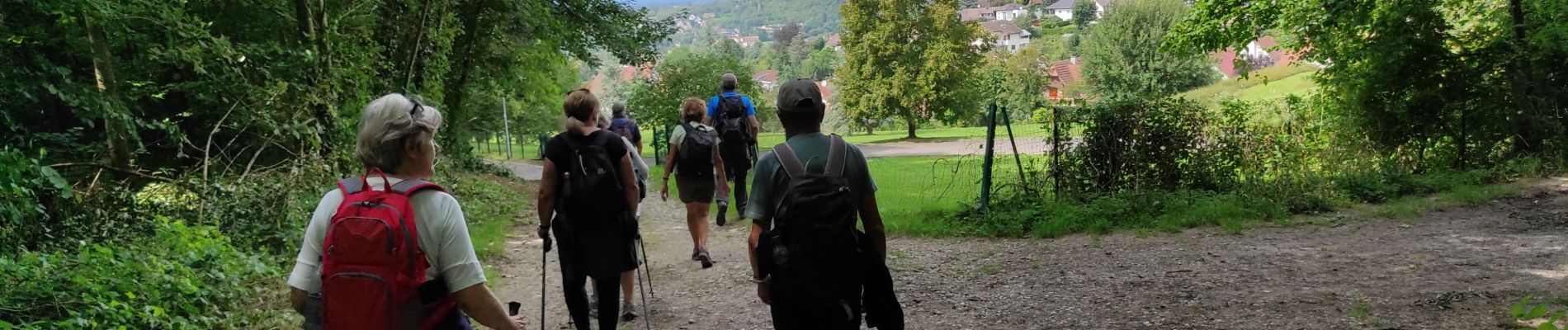
Trail Walking of 13.4 km to be discovered at Grand Est, Haut-Rhin, Illfurth. This trail is proposed by ROPPJP.
Photos

Positioning
Country:
France
Region :
Grand Est
Department/Province :
Haut-Rhin
Municipality :
Illfurth
Location:
Unknown
Start:(Dec)
Start:(UTM)
369716 ; 5281267 (32T) N.
Comments