


evette2608

JPS73
User
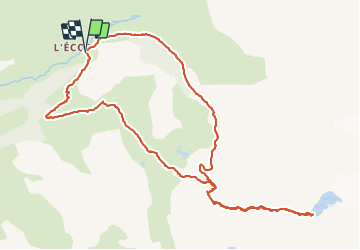

Length
12.1 km

Max alt
2873 m

Uphill gradient
939 m
Km-Effort
25 km

Min alt
2021 m

Downhill gradient
936 m
Boucle
Yes
Creation date :
2021-08-26 05:38:09.661
Updated on :
2021-08-26 17:12:51.147
7h07
Difficulty : Very difficult

FREE GPS app for hiking
 SityTrail
IGN / Geographical institutes
SityTrail Plus
The world is yours!
About
Trail Walking of 12.1 km to be discovered at Auvergne-Rhône-Alpes, Savoy, Bonneval-sur-Arc. This trail is proposed by JPS73.
Positioning
Country:
France
Region :
Auvergne-Rhône-Alpes
Department/Province :
Savoy
Municipality :
Bonneval-sur-Arc
Location:
Unknown
Start:(Dec)
Start:(UTM)
350474 ; 5026899 (32T) N.
Comments