


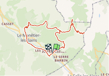

7.7 km | 17.1 km-effort


User


FREE GPS app for hiking
 SityTrail
IGN / Geographical institutes
SityTrail World
The world is yours!
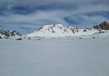
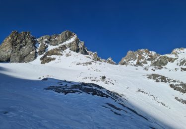
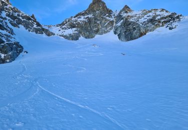
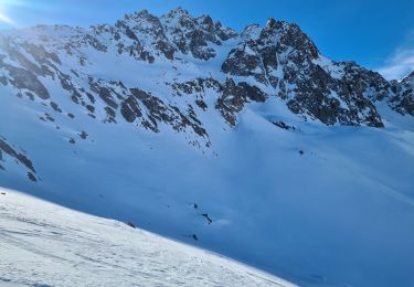
Trail Walking of 25 km to be discovered at Provence-Alpes-Côte d'Azur, Hautes-Alpes, Le Monêtier-les-Bains. This trail is proposed by flip38.
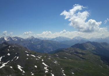
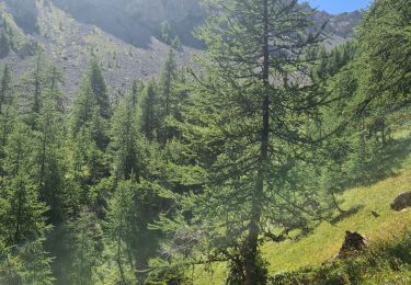
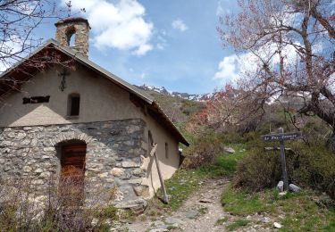
Superbe randonnée au dessus de la vallée de la Guisane vers le Grand Aréa. Magnifique vue à 360° au sommet.
Randonnée longue et exigeante, sans difficulté technique.
D'autres informations sur mon site : http://surlessommets.blog.free.fr/


Walking
Walking

Walking
Walking
Walking
Touring skiing
Touring skiing
Touring skiing
Touring skiing