


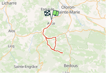

11.1 km | 16 km-effort


User


FREE GPS app for hiking
 SityTrail
IGN / Geographical institutes
SityTrail World
The world is yours!
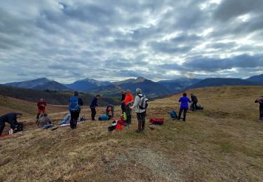
Trail Road bike of 46 km to be discovered at New Aquitaine, Pyrénées-Atlantiques, Ance-Féas. This trail is proposed by migouel.

Walking
Walking
Walking

Walking
Walking
Walking

Walking

Walking

On foot