


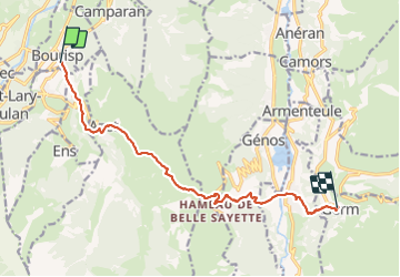

6.4 km | 9.2 km-effort

User


FREE GPS app for hiking
 SityTrail
IGN / Geographical institutes
SityTrail World
The world is yours!
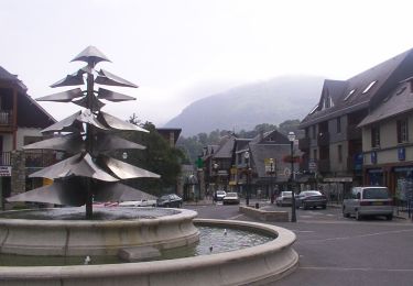
Trail Walking of 12.7 km to be discovered at Occitania, Hautespyrenees, Bourisp. This trail is proposed by LEGUE.
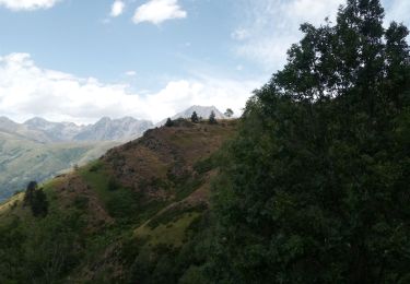
Petite journée, grand Beau …
2 belles grimpettes au début et à la fin


Walking

Walking

Walking
Walking
Walking

sport

Walking
On foot
Walking