


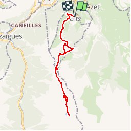

6.4 km | 9.2 km-effort


User GUIDE


FREE GPS app for hiking
 SityTrail
IGN / Geographical institutes
SityTrail World
The world is yours!
Trail Walking of 16.5 km to be discovered at Occitania, Hautespyrenees, Ens. This trail is proposed by lhomme.ph.

Walking

Walking

Walking
Walking


sport

Walking

On foot
Walking
Walking
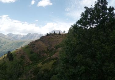
superbe rando mais assez difficile sinon magnifique