


Refuge du Sélé

GOHIER
User
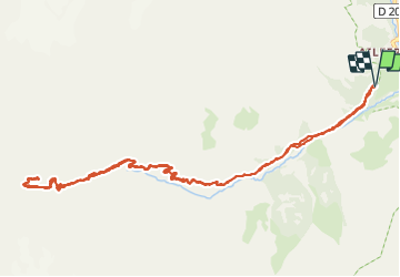

Length
14.6 km

Max alt
2507 m

Uphill gradient
991 m
Km-Effort
28 km

Min alt
1530 m

Downhill gradient
989 m
Boucle
Yes
Creation date :
2021-09-02 08:12:48.0
Updated on :
2021-09-02 16:58:31.993
8h31
Difficulty : Difficult

FREE GPS app for hiking
 SityTrail
IGN / Geographical institutes
SityTrail Plus
The world is yours!
About
Trail Walking of 14.6 km to be discovered at Provence-Alpes-Côte d'Azur, Hautes-Alpes, Vallouise-Pelvoux. This trail is proposed by GOHIER.
Description
La barre rocheuse de plus de 150 m de hauteur est bien ambiance !!!
Bravo à l’équipe Patou, Sylvie et Yvan : de vrais alpinistes !
Positioning
Country:
France
Region :
Provence-Alpes-Côte d'Azur
Department/Province :
Hautes-Alpes
Municipality :
Vallouise-Pelvoux
Location:
Pelvoux
Start:(Dec)
Start:(UTM)
298038 ; 4973190 (32T) N.
Comments