


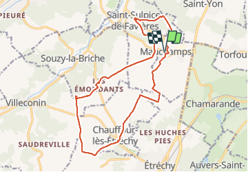

18.3 km | 22 km-effort

User


FREE GPS app for hiking
 SityTrail
IGN / Geographical institutes
SityTrail World
The world is yours!
Trail Walking of 18 km to be discovered at Ile-de-France, Essonne, Mauchamps. This trail is proposed by c.chehere.
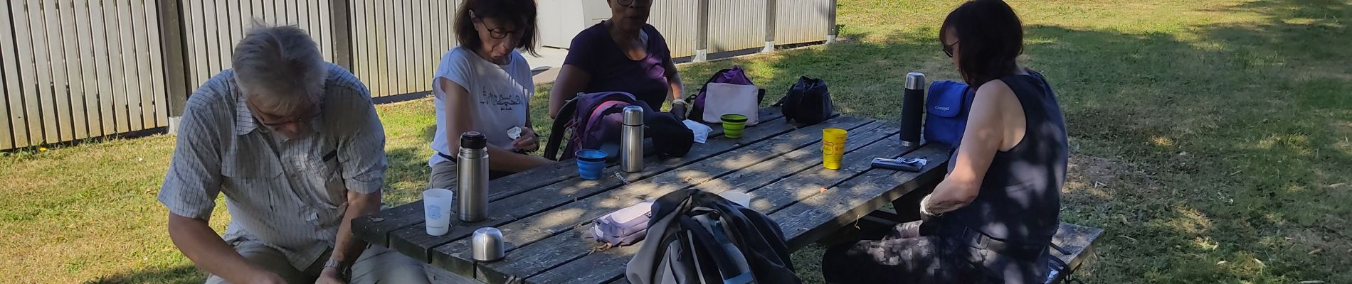
Pas terrible, rando sur des chemins d'exploitations agricoles tout droits et tout plats.
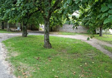
Seule partie intéressante, la boucle de St Sulpice.
Météo très chaude


Walking

Walking

Walking

On foot

Walking
Walking
Walking
Walking

Walking