


prodin chapotet

lionelnottat
User
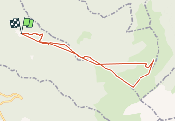

Length
9.3 km

Max alt
2071 m

Uphill gradient
821 m
Km-Effort
20 km

Min alt
1353 m

Downhill gradient
813 m
Boucle
Yes
Creation date :
2021-09-07 07:17:30.037
Updated on :
2021-09-07 14:08:49.734
1h18
Difficulty : Very difficult

FREE GPS app for hiking
 SityTrail
IGN / Geographical institutes
SityTrail Plus
The world is yours!
About
Trail Walking of 9.3 km to be discovered at Auvergne-Rhône-Alpes, Savoy, Presle. This trail is proposed by lionelnottat.
Positioning
Country:
France
Region :
Auvergne-Rhône-Alpes
Department/Province :
Savoy
Municipality :
Presle
Location:
Unknown
Start:(Dec)
Start:(UTM)
278639 ; 5036243 (32T) N.
Comments