


Prodin - Le Chapotet G1

rolland-a
User
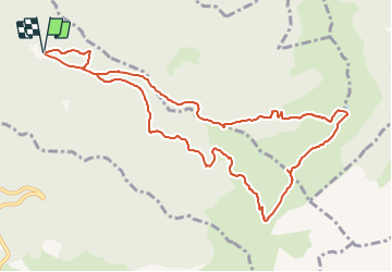

Length
11.8 km

Max alt
2073 m

Uphill gradient
887 m
Km-Effort
24 km

Min alt
1355 m

Downhill gradient
887 m
Boucle
Yes
Creation date :
2021-09-08 07:02:27.725
Updated on :
2021-09-08 07:04:49.483
5h22
Difficulty : Very difficult

FREE GPS app for hiking
 SityTrail
IGN / Geographical institutes
SityTrail Plus
The world is yours!
About
Trail Walking of 11.8 km to be discovered at Auvergne-Rhône-Alpes, Savoy, Presle. This trail is proposed by rolland-a.
Positioning
Country:
France
Region :
Auvergne-Rhône-Alpes
Department/Province :
Savoy
Municipality :
Presle
Location:
Unknown
Start:(Dec)
Start:(UTM)
278641 ; 5036227 (32T) N.
Comments