


Le lac de Barbeyroux

raymondfn
User

Length
8.2 km

Max alt
1661 m

Uphill gradient
392 m
Km-Effort
13.5 km

Min alt
1301 m

Downhill gradient
393 m
Boucle
Yes
Creation date :
2021-09-08 14:39:00.277
Updated on :
2021-09-08 14:51:55.605
3h00
Difficulty : Difficult

FREE GPS app for hiking
 SityTrail
IGN / Geographical institutes
SityTrail Plus
The world is yours!
About
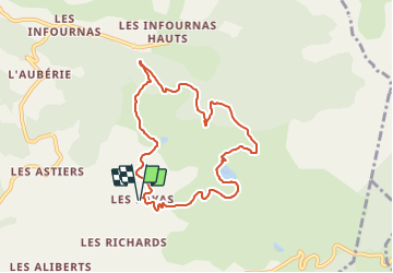
Trail Walking of 8.2 km to be discovered at Provence-Alpes-Côte d'Azur, Hautes-Alpes, Saint-Bonnet-en-Champsaur. This trail is proposed by raymondfn.
Positioning
Country:
France
Region :
Provence-Alpes-Côte d'Azur
Department/Province :
Hautes-Alpes
Municipality :
Saint-Bonnet-en-Champsaur
Location:
Bénévent-et-Charbillac
Start:(Dec)
Start:(UTM)
270675 ; 4953140 (32T) N.
Comments
