Trail Walking Uvernet-Fours - Ventebrun depuis Pont de Julien - Photo
 Uio73
Uio73

User

© OpenStreetMap contributors
Length
Length
15 km
Max alt
Max alt
2852 m
Uphill gradient
Uphill gradient
877 m
Km-Effort
Km-Effort  
28 km
Min alt
Min alt
1752 m
Downhill gradient
Downhill gradient
1193 m
Boucle
Boucle
No
Creation date :
2021-09-14 08:27:44.0
Updated on :
2021-09-16 07:41:30.184

(1 Reviews)

Walking
Walking
6h09
Difficulty : Difficult

Scan this QR Code to open this trail in the SityTrail application

FREE GPS app for hiking

Logo SityTrail SityTrail

IGN / Geographical institutes

Download SityTrail from the App Store Download SityTrail from Google Play

Logo SityTrail SityTrail World

The world is yours!

Download SityTrail from the App Store Download SityTrail from Google Play Download SityTrail on Huawei AppGallery

About

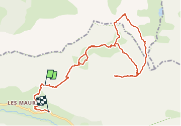
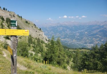
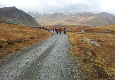
Trail Walking of 15 km to be discovered at Provence-Alpes-Côte d'Azur, Alpes-de-Haute-Provence, Uvernet-Fours. This trail is proposed by Uio73.

Description

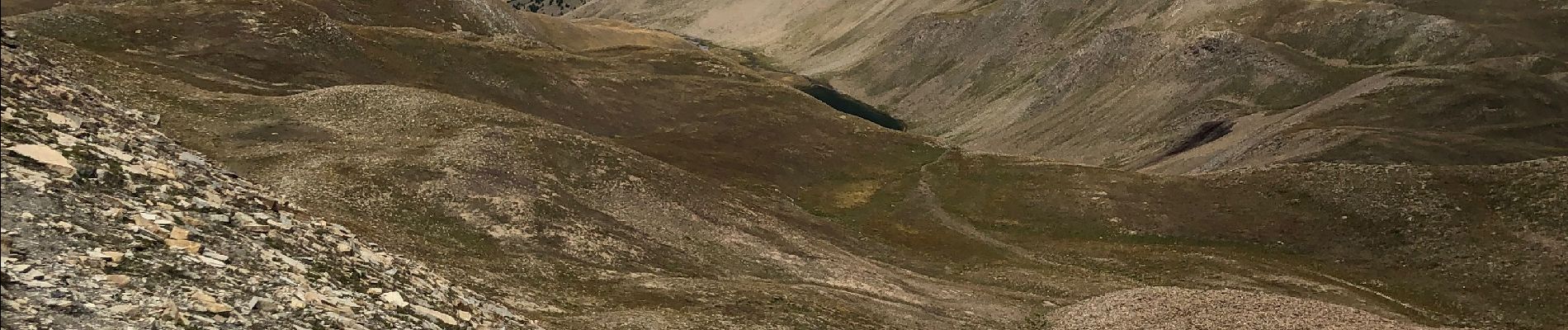
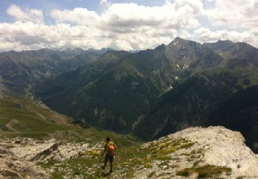
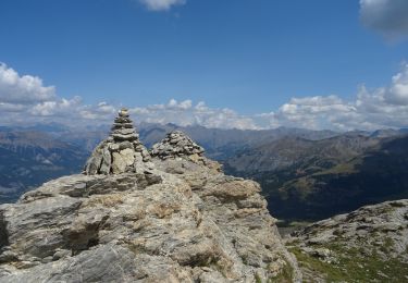
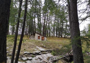
Très belle randonnée dans un vallon sauvage avec plein de bouquetins. Attention le dénivelé de montée est identique à celui de la descente (j'ai lancé l'enregistrement un peu tard). Le chemin n'apparait pas sur la carte IGN, mais il est très bien tracé en réalité jusqu'au sommet. L'itinéraire jusqu'au sommet en aller-retour par le sentier est facile.
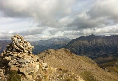
On a rajouté une boucle en faisant le tour du "Rocher de Tête Clapouse" avec un passage à travers la falaise de la "Barre de Terres Plaines" dans un pierrier raide (d'où la classification difficile).

Elevation profile

Photos

Positioning

Country:
France
Region :
Provence-Alpes-Côte d'Azur
Department/Province :
Alpes-de-Haute-Provence
Municipality :
Uvernet-Fours
Location:
Unknown
Start:(UTM)
318275 ; 4910604 (32T) N.

Comments

Please log in to post a review or rate the element


Merci pour ce partage !


Trails nearby

Trail Walking Enchastrayes - chapeau de gendarme. Ubaye  - Photo
Walking
ytenag

Walking

Difficult
(1)
Enchastrayes, Provence-Alpes-Côte d'Azur, Alpes-de-Haute-Provence, France
16 km | 31 km-effort
7h 30min
Yes
Trail Walking Uvernet-Fours - Autour de la Pierre Eclatée - Photo
Walking
tracegps

Walking

Very difficult
(1)
Uvernet-Fours, Provence-Alpes-Côte d'Azur, Alpes-de-Haute-Provence, France
13.9 km | 24 km-effort
6h 0min
Yes
Trail Walking Enchastrayes - chapeau de gendarme - Photo
Walking
gibello

Walking

Medium
Enchastrayes, Provence-Alpes-Côte d'Azur, Alpes-de-Haute-Provence, France
13.5 km | 28 km-effort
6h 51min
Yes
Trail Walking Enchastrayes - col du Chapeau de gendarme et de Gyp Aller via flanc est Retour via flanc nord - Photo
Walking
cyrgab

Walking

Difficult
Enchastrayes, Provence-Alpes-Côte d'Azur, Alpes-de-Haute-Provence, France
11.4 km | 25 km-effort
4h 29min
Yes
Trail Walking Uvernet-Fours - UVERNET.  Bayasse,  tour de la pierre éclatée o - Photo
Walking
RobinMicheline

Walking

Difficult
Uvernet-Fours, Provence-Alpes-Côte d'Azur, Alpes-de-Haute-Provence, France
16.3 km | 27 km-effort
4h 50min
Yes
Trail Walking Enchastrayes - Chapeaux du gendarme (20/08/2021) - Photo
Walking
manumax

Walking

Very difficult
Enchastrayes, Provence-Alpes-Côte d'Azur, Alpes-de-Haute-Provence, France
17.1 km | 33 km-effort
6h 24min
Yes
Trail Walking Uvernet-Fours - Cabane de la petite Saume. 27/09/20 - Photo
Walking
Dervalmarc

Walking

Easy
Uvernet-Fours, Provence-Alpes-Côte d'Azur, Alpes-de-Haute-Provence, France
3.8 km | 7.1 km-effort
1h 5min
No
Trail Walking Uvernet-Fours - ROUTE DU COL DE RESTEFOND - Photo
Walking
BLANCHET

Walking

Easy
Uvernet-Fours, Provence-Alpes-Côte d'Azur, Alpes-de-Haute-Provence, France
8.9 km | 15 km-effort
4h 0min
No
Trail Walking Enchastrayes - Croix de l Alpe - Photo
Walking
ytenag

Walking

Medium
(1)
Enchastrayes, Provence-Alpes-Côte d'Azur, Alpes-de-Haute-Provence, France
6.7 km | 16.1 km-effort
2h 11min
No


Close
My subscriptions