


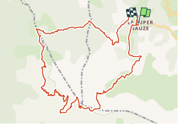

18.7 km | 28 km-effort


User


FREE GPS app for hiking
 SityTrail
IGN / Geographical institutes
SityTrail World
The world is yours!
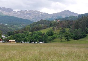
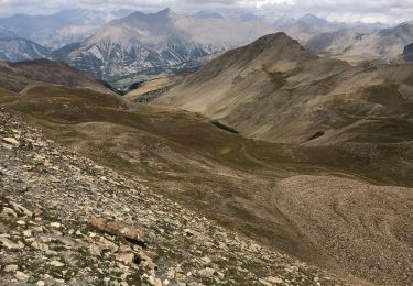
Trail Walking of 17.1 km to be discovered at Provence-Alpes-Côte d'Azur, Alpes-de-Haute-Provence, Enchastrayes. This trail is proposed by manumax.
Randonnée faîtes cet été le 20/08/2021
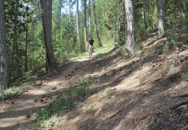
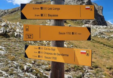
Grande partie en sentier
le tracé est facile à suivre, peu de croisement
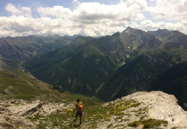
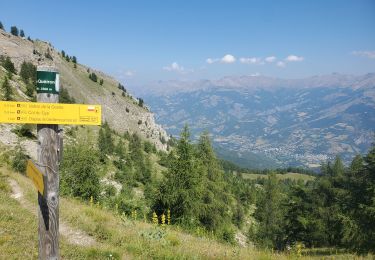
Très belle vue à 360°
 - Photo 1")
 - Photo 2")
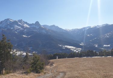
 - Photo 3")
 - Photo 4")
Mountain bike
Walking
Walking
Walking
Walking
Walking
Walking
On foot
Walking