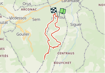

13.8 km | 21 km-effort

User


FREE GPS app for hiking
 SityTrail
IGN / Geographical institutes
SityTrail World
The world is yours!
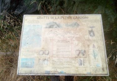
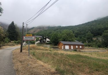
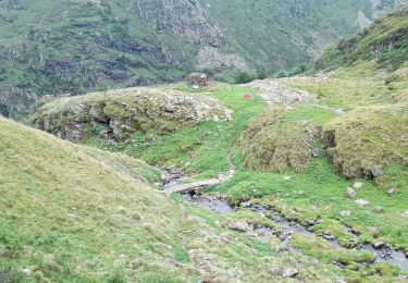
Trail Walking of 14.7 km to be discovered at Occitania, Ariège, Lercoul. This trail is proposed by chrisgps.
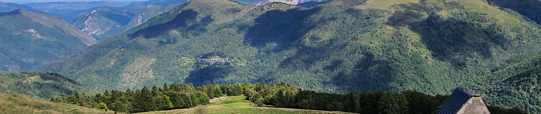
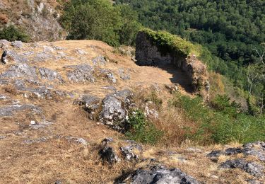
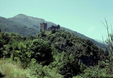
Beau circuit en boucle bien agréable.
Beaux panoramas avec vue sur l'étang de Gnioure.


Electric bike
On foot
On foot
On foot
Walking
Walking

Walking