


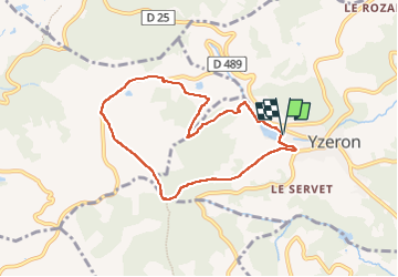


7.4 km | 11.5 km-effort

User


FREE GPS app for hiking
 SityTrail
IGN / Geographical institutes
SityTrail World
The world is yours!
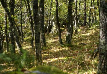
Trail Walking of 7.4 km to be discovered at Auvergne-Rhône-Alpes, Rhône, Yzeron. This trail is proposed by Sigmut.
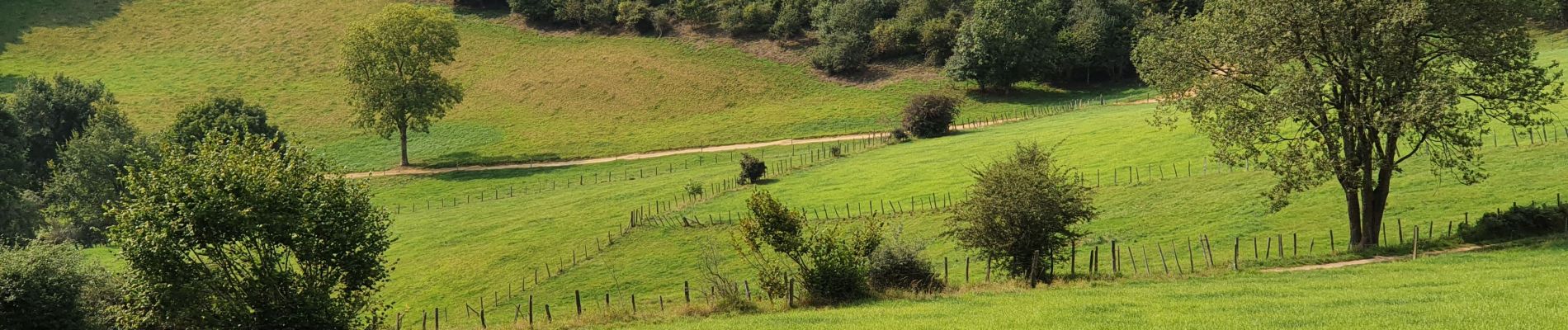
Randonnée très variée faite avec des enfants en bas âges.


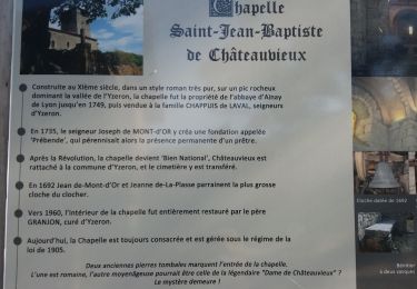
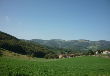
42 photos in total. Please click on a photo to see them all in the gallery.

Walking

Walking
Walking

Walking
Walking

On foot
On foot

On foot
On foot