


Royere de Vassiviere

milk44
User
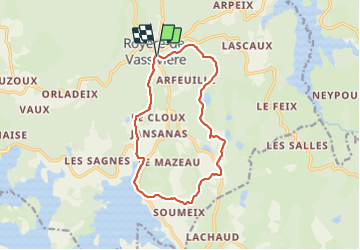

Length
13.2 km

Max alt
786 m

Uphill gradient
239 m
Km-Effort
16.4 km

Min alt
648 m

Downhill gradient
241 m
Boucle
Yes
Creation date :
2021-09-28 11:59:03.164
Updated on :
2021-09-28 15:21:49.6
2h56
Difficulty : Easy

FREE GPS app for hiking
 SityTrail
IGN / Geographical institutes
SityTrail Plus
The world is yours!
About
Trail Walking of 13.2 km to be discovered at New Aquitaine, Creuse, Royère-de-Vassivière. This trail is proposed by milk44.
Description
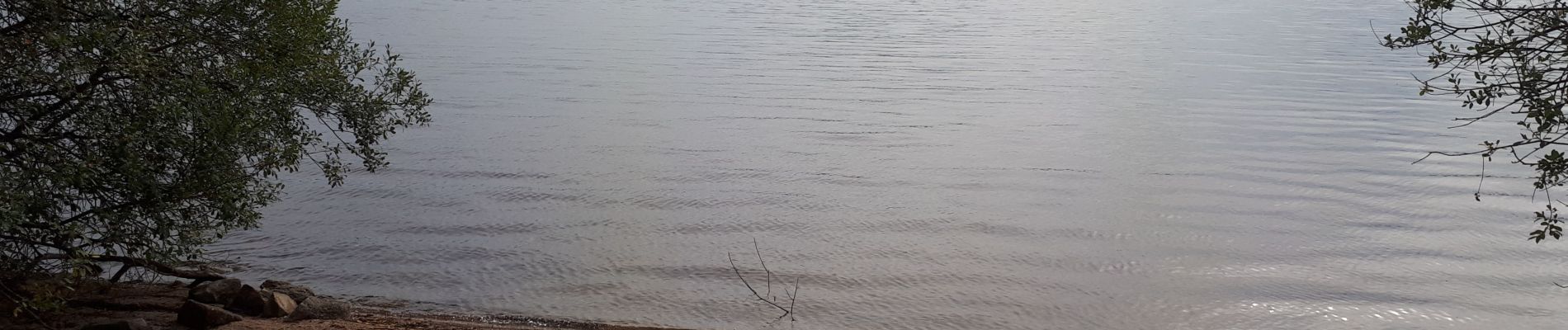
Circuit des sept peux
Photos

Positioning
Country:
France
Region :
New Aquitaine
Department/Province :
Creuse
Municipality :
Royère-de-Vassivière
Location:
Unknown
Start:(Dec)
Start:(UTM)
415493 ; 5076833 (31T) N.
Comments