


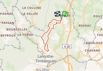

12.3 km | 15.3 km-effort

User


FREE GPS app for hiking
 SityTrail
IGN / Geographical institutes
SityTrail World
The world is yours!
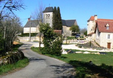
Trail Walking of 9.3 km to be discovered at Occitania, Lot, Lachapelle-Auzac. This trail is proposed by houbart.


Walking

Walking
Walking

Walking

Motorbike

Running

Mountain bike
Walking