


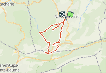


8.4 km | 15.5 km-effort

User


FREE GPS app for hiking
 SityTrail
IGN / Geographical institutes
SityTrail World
The world is yours!
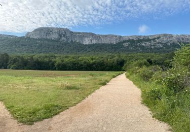
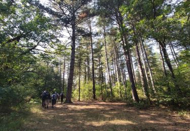
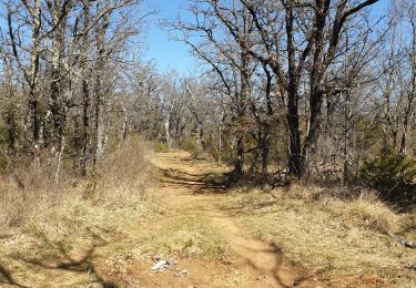
Trail On foot of 15.4 km to be discovered at Provence-Alpes-Côte d'Azur, Var, Nans-les-Pins. This trail is proposed by Christiancordin.
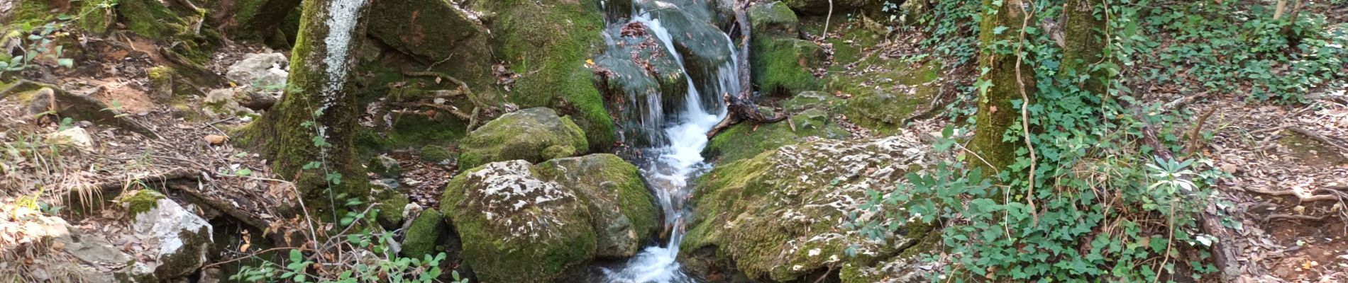
Nans les Pins-le vieux Nans-Ste croix-Mantelette-source de l'Huveaune-grotte Castelette-Chemin des Rois.


Walking

Walking

Walking

Walking

Walking

Walking
On foot
Walking
Walking