


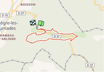

10.4 km | 14.9 km-effort

User


FREE GPS app for hiking
 SityTrail
IGN / Geographical institutes
SityTrail World
The world is yours!
Trail Walking of 7.4 km to be discovered at Occitania, Gard, Allègre-les-Fumades. This trail is proposed by thibat.
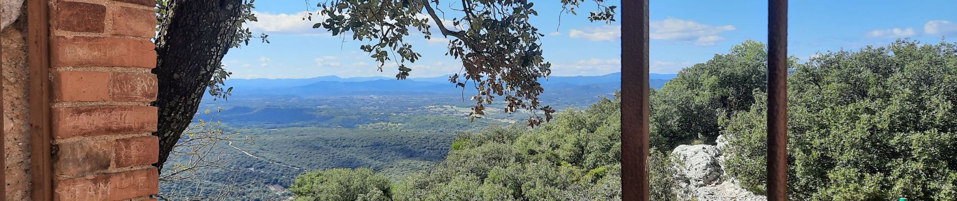
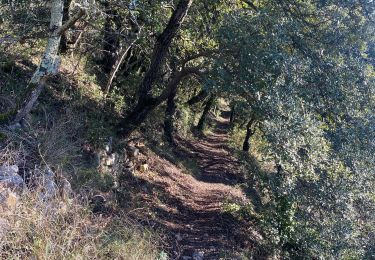
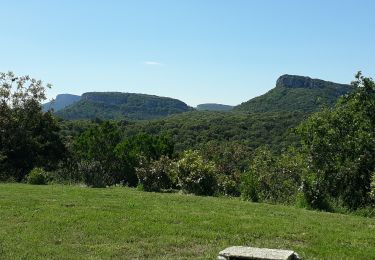
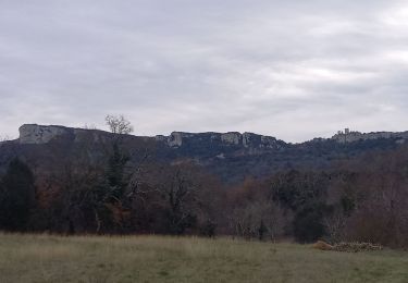
Rando au départ du parking du château d'Allègre empruntant la crête de la côte d'Allègre et le ravin de Serre Fourré. Nombreux points de vue sur la première partie de l'itinéraire.


Walking

Walking

Walking
Walking

Walking

Walking


Walking
Walking